
Geotechnical
Inclinometers
Manual or automatic In-place Inclinometers are typically installed in boreholes or as part of a pile structure. Inclinometers are used to measure the relative values of slope, tilt, elevation and depression. The inclinometer has two components; the casing and the measurement system.
Apps: embankments, shoring walls, adjacent to excavations, dams, foundations and other structures.
Piezometers
Automatic Piezometers measure liquid pressure to accurately determine ground water levels.
Apps: embankments, dams, liquid storage and ground water levels.
Extensometers
Provide linear displacement monitoring. Extensometers accurately measure movement along a single axis and can be used manual or remote automatic.
Apps: embankments, rock walls, tunnels, settlement and subsidence.
Automated Total-Station (ATS)
ATS is the automatic monitoring of target prisms on a structure or geological feature using a Total-Station surveying instrument. An ATS system can be configured to automatically monitor in sequences or patterns at chosen time intervals.
Apps: excavation adjacent to infrastructure and embankment stability.
Crack Meters
Linear displacement measurements across cracks or gaps.
Apps: monitoring joints or cracks in concrete structures or geological features.
Digital Levels
Manual survey measurements of vertical displacement of surfaces or geological features.
Apps: structure stability adjacent to excavations and embankments.
Rail
Rail Stress & Temperature
Combined foil strain gauge and temperature sensor systems are installed to provide real-time stress data. This is used to ensure rail lines are operating within safe stress parameters.
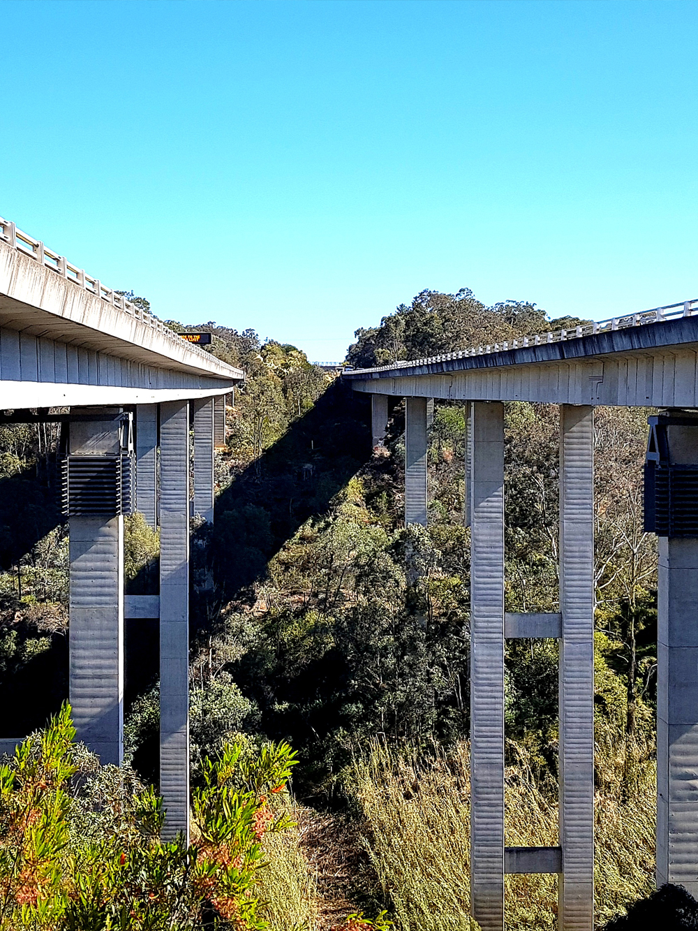
Apps: Longwall undermining subsidence monitoring
Automated Total-Station (ATS)
ATS is the automatic monitoring of target prisms on the rails or embankments. Rail geometry parameters such as; top, line, short and long twist can be calculated from the survey measurements.
Compliance to SPC 207.
Apps: under bores, excavations adjacent to the rail and embankment stability.

Structural
Digital Levels
Manual survey measurement of the vertical displacement of surfaces or infrastructure.
Vibration
Ground and structural vibration monitoring services.
Apps: Excavation or piling works adjacent to critical infrastructure or heritage listed structures.
Crack Meters
Linear displacement measurements across cracks or gaps.
Automated Total-Station (ATS)
ATS is the automatic monitoring of target prisms on a structure or geological feature using a Total-Station surveying instrument. An ATS system can be configured to automatically monitor in sequences or patterns at chosen time intervals.
Manual Survey
1D, 2D or 3D measurements using manual surveying instruments
GNSS
Satellite monitoring of structures, or geological features.
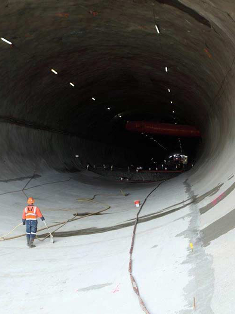
Tunnel Deformation
Extensometers
Provide linear displacement monitoring. Extensometers accurately measure movement along a single axis and can be manual or remote automatic.
Convergence Monitoring
Manual survey measurements of installed targets to quantify the convergence deformation of tunnel excavation headings.
Nodes
Electronic triaxial sensors, individual or linked in sequence to provide real-time displacement measurements.
Laser Scanning & Radar
For further details please contact us.

Environmental
Weather
Weather monitoring systems for measuring; air pressure, rain fall, air temperature, humidity, wind speed, wind direction and dew point.
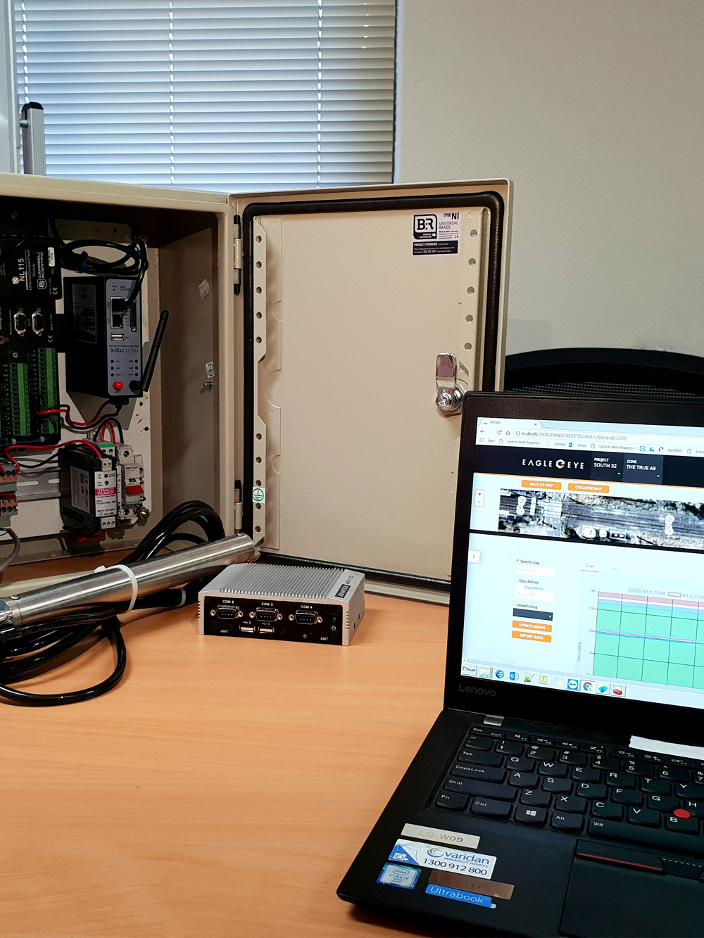
Custom Packages
Customised Solutions
We provide customised monitoring packages to suit your project. Contact us for more information.
If your project has monitoring specifications that you need to meet – we can help